
Geology along The Strawberry Line
The Strawberry Line is not just a former railway route; it crosses a landscape with a geological record spanning more than 300 million years, from the ancient rocks of the Mendip Hills to the modern sediments of the Severn Estuary. In partnership the Somerset Geology Group (SGG) and Somerset Environmental Records Centre (SERC), we have designated several significant locations along the Strawberry Line as Local Geological Sites (LGS). We are working to produce a series of downloadable leaflets highlighting these LGS. It is hoped that information boards will also be sited at these locations as permanent educational displays.
The rocks of the Mendips Hills were formed from sediments laid down over millions of years and later dramatically folded during the Variscan mountain-building period to create a substantial mountain range. Many more millions of years of erosion of these mountains resulted in deposition of Triassic age sediments along the edge of the Mendips. Towards the end of the Triassic period, the area was invaded by the sea. Marine sediments were laid down through the following Jurassic period. Evidence of the major geological time gap (called an unconformity by geologists) where younger Triassic and Jurassic rocks overlay the older, tilted Carboniferous rocks can be seen throughout the area and at some of the LGS.
Shepton Mallet: The route begins on the Jurassic Blue Lias Formation (200-195 million years ago), consisting of alternating limestones and mudstones, which formed in a warm subtropical sea and along its coastal fringes. The route next crosses the older Carboniferous Limestone (359–327 mya) which was laid down in similar sub-tropical conditions to the Blue Lias. Both the Carboniferous and the Blue Lias rocks contain abundant fossils.
Wells: From here the line runs across the red Triassic rocks of the Mercia Mudstone Group (250-200 mya), much of it being the distinctive Dolomitic Conglomerate, which can be seen in the Easton Cutting LGS and many local buildings. The famous springs at Wells occur because groundwater flowing through the Carboniferous Limestone to the north encounters the impermeable clay of the Mercia Mudstone and emerges at the surface.
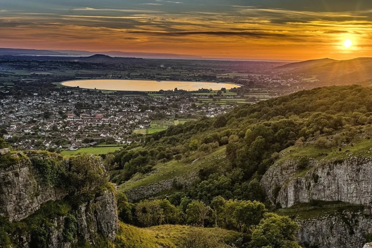
Cheddar and Axbridge: The route continues over Triassic rocks with the Carboniferous Limestone hills rising dramatically above. Erosion of the limestone has produced many caves such as those at Wookey Hole and Cheddar. Deep valleys, Cheddar Gorge being the most spectacular, were cut in the sides of the Mendips by powerful rivers carrying meltwater when the most recent ice-age came to an end around 10,000 years ago.
Axbridge to Yatton: The line turns north towards Winscombe where Shute Shelve Tunnel (the location of an LGS) bores through the narrowest part of the Carboniferous Limestone. After Winscombe, the line drops down to the North Somerset Levels where silts and clays have been deposited by rivers and marine incursions. Approaching Yatton, Cadbury Hill rises above the flat landscape. This is an isolated outlier of the main Carboniferous Limestone outcrop to the east.
Clevedon: The journey ends on the Severn Estuary where in the cliffs and on the foreshore, there are more Carboniferous rocks and even older rocks from the Devonian period (416-359 mya). Geological processes continue today as the cliffs and beach deposits are shaped by the exceptionally powerful tides of the Bristol Channel.
With thanks to GJ Dawson of Somerset Geology Group